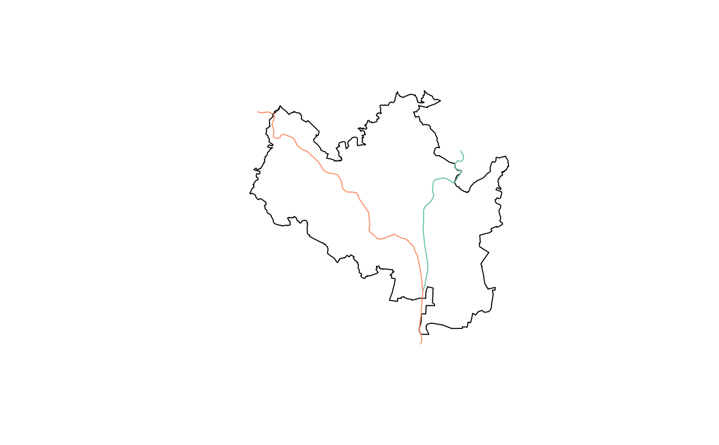
Function returning data frame of rivers of the Czech Republic as sf lines. It takes a single parameter scope with default "global".
Arguments
- scope
Should the function return all rivers, or just Vltava in Prague / Svitava & Svratka in Brno?
- resolution
Should the function return high or low resolution shapefile? Allowed values are "high" (default) and "low". This parameter affects only the geometry column, all other fields remain the same.
Value
sf data frame with 3.617 rows of 4 variables + geometry:
- TYP
Type of river
- NAZEV
Name, with Czech accents
- Navigable
Boolean indicating navigability of river.
- Major
Boolean indicating one of the major rivers.
Details
Two special case scopes are defined: Praha (returning the part of Vltava in and around Prague) and Brno (returning Svitava and Svratka near and around Brno).
Due to package size constraints the data are stored externally (and a working internet connection is required to use the package).
The data is current to January 2021. Downloaded size is 4.4 MB.
