Function returning data frame of LAU1 administrative units for the Czech Republic as sf polygons. It takes a single parameter resolution - high res (default) or low res polygons.
Source
© ČÚZK, 2025 https://vdp.cuzk.cz/
Value
sf data frame with 77 rows of 6 variables + geometry
- KOD_OKRES
Code of the district (okres).
- KOD_LAU1
Code of the district as LAU1 unit (okres).
- NAZ_LAU1
Name of the district as LAU1 unit (okres).
- KOD_KRAJ
Code of the region.
- KOD_CZNUTS3
Code of the region as NUTS3 (kraj).
- NAZ_CZNUTS3
Name of the region (kraj).
Details
Due to package size constraints the data are stored externally (and a working internet connection is required to use the package).
The dataset is based on RUIAN data by the Czech cadastral office. If necessary you can download the most up to date raw dataset in VFR format (a special case of XML which is understood by GDAL) on https://vdp.cuzk.cz/vdp/ruian/vymennyformat (in Czech only).
The data is current to July 2025. Downloaded size of high resolution shapefile 2.1 MB; low resolution object is internal.
Examples
library(sf)
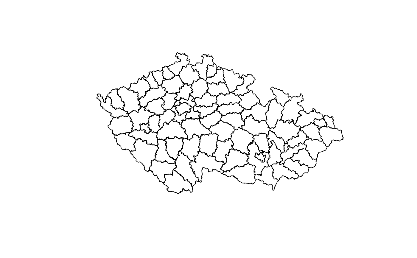
hranice <- okresy()
#> RCzechia: using dataset stored locally in ~/.rczechia
plot(st_geometry(hranice), col = "white")
 object.size(okresy("low"))
#> 161544 bytes
object.size(okresy("high"))
#> RCzechia: using dataset stored locally in ~/.rczechia
#> 2728712 bytes
object.size(okresy("low"))
#> 161544 bytes
object.size(okresy("high"))
#> RCzechia: using dataset stored locally in ~/.rczechia
#> 2728712 bytes