Function returning one of the 8 levels of Geomorphological division of the Czech Republic, as specified by the obligatory parameter level.
Source
CENIA / INSPIRE, via Mgr. Vojtěch Blažek, Ph.D. https://www.arcgis.com/home/item.html?id=25813686a8564b0bbcdc951a5573cfa4
Value
sf data frame with geomorfo division names & codes + geometry; namely:
- system
name of the system; 2 rows
- subsystem
names of the system, subsystem + kod; 4 rows
- provincie
name of the province; 4 rows
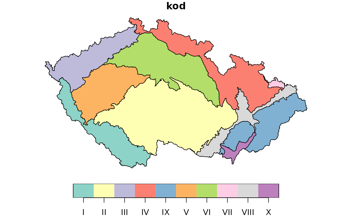
- subprovincie
name of the subprovince + kod; 10 rows
- oblast
name of the subprovince, oblast + kod; 27 rows
- celek
name of the subprovince, oblast, celek + kod; 93 rows
- podcelek
name of the subprovince, oblast, celek, podcelek + kod; 253 rows
- okrsek
name of the subprovince, oblast, celek, podcelek, okrsek + kod; 933 rows